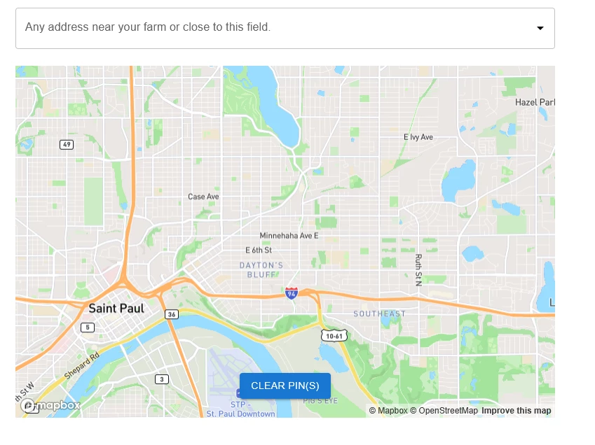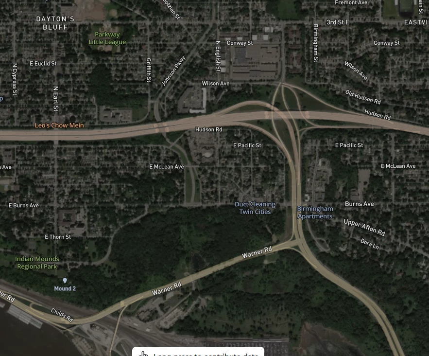

I am trying to implement this javascript for a survey question where I want respondents to select a farm on a map. I am struggling to change the basemap to standard-satellite view (e.g., so they can actually see their farm). Can you please help me change the basemap?
Specifically, I am struggling with style: 'mapbox://styles/mapbox/standard-satellite'
Qualtrics.SurveyEngine.addOnload(function () {
document .getElementById(this.questionId) .querySelectorAll('[role*=presentation]')[0].style.display = 'none'; }); // Default center and zoom level
Qualtrics.SurveyEngine.addOnReady(function () {
mapRender( 'API KEY', document.getElementById(this.questionId), {
defaultView: {
location: { lat: 39, lng: 98, },
editable: true,
zoom: 13,
style: 'mapbox://styles/mapbox/standard-satellite', // default to standard-satellite style on mount },
}); })